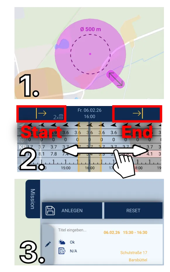
Create mission
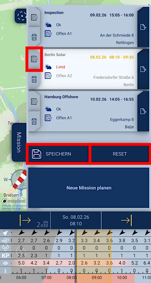
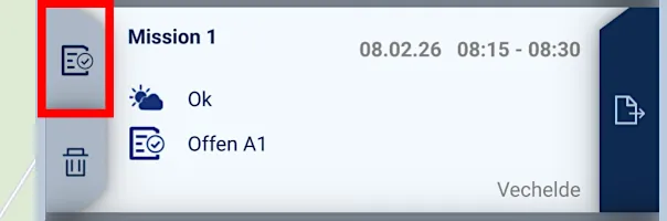
Edit mission
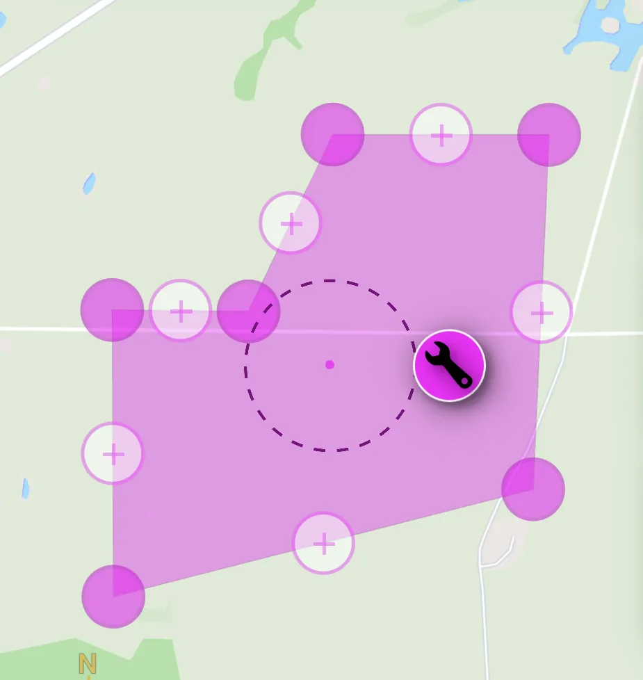
Mission area as polygon
Determine operations category
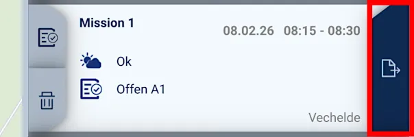
Protocol and Briefing Pack
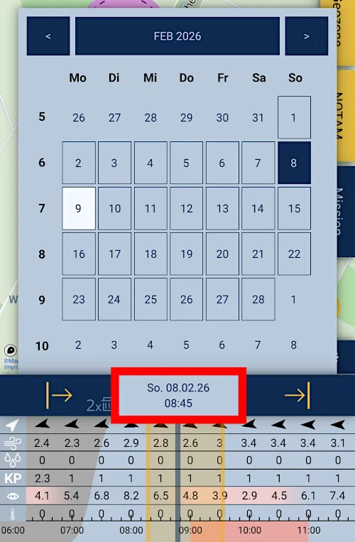
Calendar
Geo-zones and airspaces
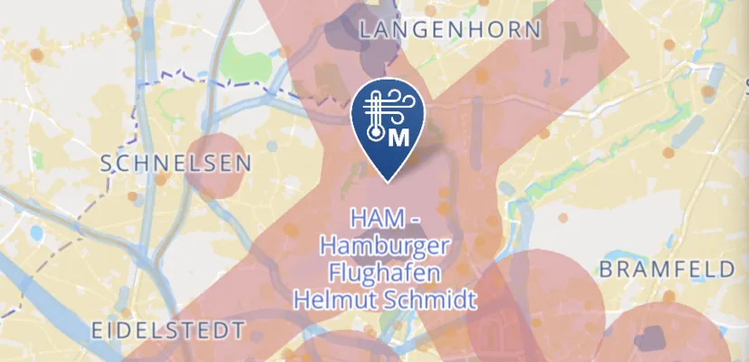
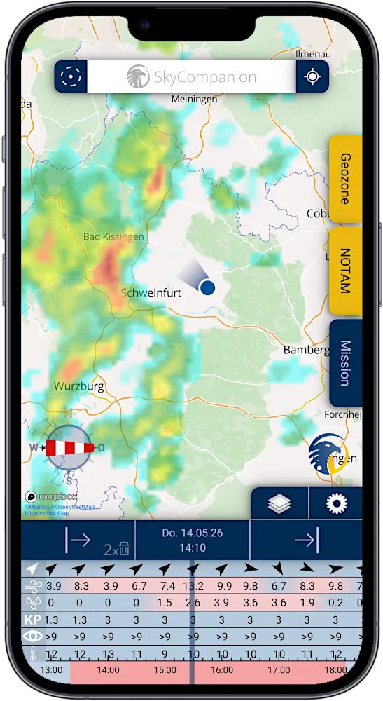
Address Bar

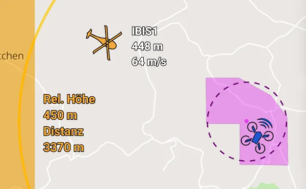
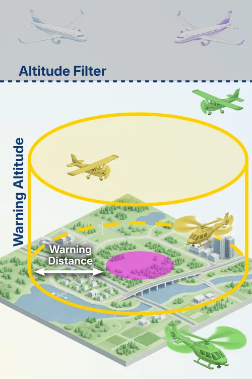
Air traffic and warnings
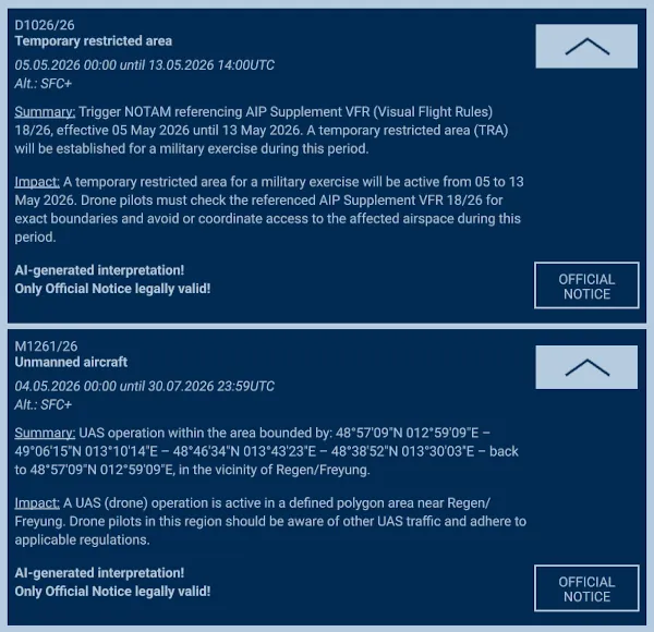
NOTAMs & TFRs
Remote ID
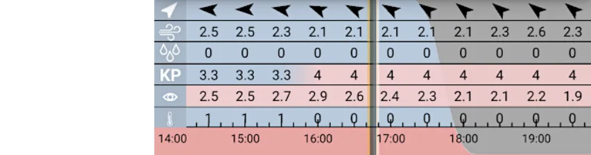
Weather and timeline
Precipitation radar
METAR & TAF